Complete Guide to Mt. Goshozzan (Mt. Funagatayama) | Yamagata Prefecture Hiking, Access, and Attractions Summary
What is Mt. Goshozzan | The Main Peak of the Funagatayama Range Spanning Yamagata and Miyagi Prefectures
Mt. Goshozzan (goshozzan) is a mountain with an elevation of 1,500.3 meters located on the prefectural border between Yamagata and Miyagi, and is known as the main peak of the Funagatayama Range. On the Miyagi side, it is called “Mt. Funagatayama (funagatayama),” and the name originates from the shape of the summit, which resembles an overturned boat. On the other hand, on the Yamagata side, it is called “Mt. Goshozzan” after the name of the Shinto shrine situated on the summit.
Counted as one of Japan’s Two Hundred Famous Mountains, this peak is located near the center of the Ou Mountain Range, and the surrounding area is designated as the Goshozzan Prefectural Nature Park. With rich natural environment and diverse hiking courses, it is beloved by many climbers as a representative mountain of the Tohoku region.
The Origin of the Name Mt. Goshozzan and Historical Background
The name Mt. Goshozzan carries an interesting legend. During the Kamakura period, Emperor Sutoku, who was exiled to Sado Island, is said to have secretly escaped from the island and lived hidden in these mountains. This legend became the origin of the name “Mt. Goshozzan” and continues to convey the region’s history and culture today.
On the Yamagata side, the mountain spans across Higashine City, Obanazawa City, and Ohkura Village, while on the Miyagi side, it extends across Yamamoto Town and Shikama Town, forming a vast mountainous area. Due to this geographical characteristic, multiple hiking routes have been developed from both prefectures, allowing hikers to select courses according to their skill level and objectives.
Geography and Natural Environment of Mt. Goshozzan
Elevation and Topographical Features
Mt. Goshozzan has an elevation of 1,500.3 meters and belongs to the Funagatayama volcanic group. As part of the Ou Spine Mountain Range, it forms the Funagatayama Range with many peaks surrounding it. The summit area is relatively flat and presents a unique landscape covered with Pinus pumila (dwarf pine).
The mountain body was formed by ancient volcanic activity and is currently inactive, but volcanic characteristics remain in its topography. A 360-degree panorama spreads from the summit, and on clear days, one can see at a glance the Tohoku’s famous peaks including Mt. Gassan, Mt. Chokai, and the Zao Range.
Beech Primeval Forest and Richness of Flora
One of the greatest charms of Mt. Goshozzan is its primeval beech forest with trees over 200 years old. Once the entire mountain was covered with splendid beech forests, but some areas were lost due to past national forest logging. Nevertheless, the beech forest currently remaining is protected as a precious natural asset representative of the Tohoku region.
Vegetation changes with elevation, with deciduous broadleaf forests centered on beech from the base to the middle slopes, Betula ermanii and Sorbus commixta visible from the middle to upper slopes, and alpine plants such as Pinus pumila and Tsuga diversifolia naturally growing near the summit.
From spring through summer, diverse alpine plants such as Chionographis japonica, Chionographis nuda, and Hemerocallis citrina bloom and delight hikers. Particularly from June to July, colorful flowers adorn the mountain, creating a scene truly worthy of being called a “Flower Hundred Famous Mountains.”
Gorge Beauty and Water Sources
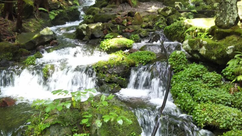
Numerous beautiful gorges exist around Mt. Goshozzan, with the gorge scenery of the Sounkyo Course being particularly noteworthy. The landscape where clear streams carve through rocks, forming waterfalls and pools, presents a different face with each season.
Several water sources exist within the mountain, serving as precious water replenishment points for hikers. These water sources are also used for household water and agricultural water in downstream areas, playing an important role as a regional water resource.
Detailed Hiking Routes of Mt. Goshozzan
Kannon-ji Course (Yamagata Side, Higashine City)
The Kannon-ji Course is the most popular hiking route from the Yamagata side. Proceeding from Higashine City through the Yanagisawa Forest Road, one enters from the Kannon-ji trailhead via Yanagisawa Cabin. The distance from the trailhead to the summit is approximately 5.5 km, with an elevation gain of approximately 900 meters.
Course Characteristics:
- Trailhead elevation: approximately 600 m
- Required time: approximately 4 hours up, approximately 3 hours down
- Difficulty: Intermediate
- Highlights: Beech forest, panoramic views, alpine plants
The hiking trail is relatively well-maintained and accommodates both beginners and intermediate hikers. Midway along the route, Yanagisawa Cabin provides opportunities for rest and accommodation (advance confirmation required). After passing through the beech forest, views gradually open, and once on the ridge, splendid vistas can be enjoyed.
Water sources exist at several points along the trail, but water volume varies with weather and season, so it is recommended to carry sufficient drinking water. Near the summit there is a summit emergency shelter that can be used for emergency evacuation or rest.
Masunosawa Course (Yamagata Side)
The Masunosawa Course is a somewhat advanced route suitable for hikers seeking quieter mountain experiences. While access to the trailhead is somewhat difficult, one can fully enjoy untouched nature in return.
Course Characteristics:
- Required time: approximately 5 hours up, approximately 4 hours down
- Difficulty: Intermediate to Advanced
- Highlights: Primeval forest, serene environment
The trail has fewer users than the Kannon-ji Course and has a more wild atmosphere. Check trail markers and maintenance conditions in advance; this route is for hikers accustomed to using maps and compasses.
Routes from Miyagi Prefecture Side
Multiple routes exist from the Miyagi side, including the Masunosawa Course and the Sanko-no-Miya Course. On the Miyagi side, it is known as “Mt. Funagatayama” and is used by local hikers.
Main Routes:
- Masunosawa Course (Miyagi side): From Yamamoto Town
- Sanko-no-Miya Course: From Shikama Town
Routes from the Miyagi side are characterized by the ability to enjoy flora and scenery different from the Yamagata side. Both routes require intermediate-level or higher fitness and technical skill.
Hiking Seasons and Best Times
Spring Hiking (May to June)
From late May to June after snow melts, fresh greenery is beautiful, and the contrast between remaining snow and new foliage is spectacular. It is also the time when alpine plants begin to bloom in succession, making it ideal for hiking aimed at plant observation.
However, snow may remain in high-altitude areas, and snowfield equipment such as crampons may be necessary. It is important to check the latest snow information before hiking.
Summer Hiking (July to August)
Summer is the season with the most hikers, with stable weather expected. From mid-July to early August, alpine plants bloom most abundantly, and views from the summit are excellent.
Summer Precautions:
- High temperatures requiring heat stroke prevention measures
- Afternoon thunderstorm risk; early morning departure recommended
- Insect repellent measures (horseflies, biting midges, etc.)
- Carrying sufficient water and salt
Autumn Hiking and Fall Foliage (September to October)
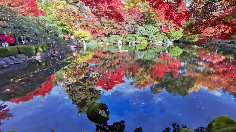
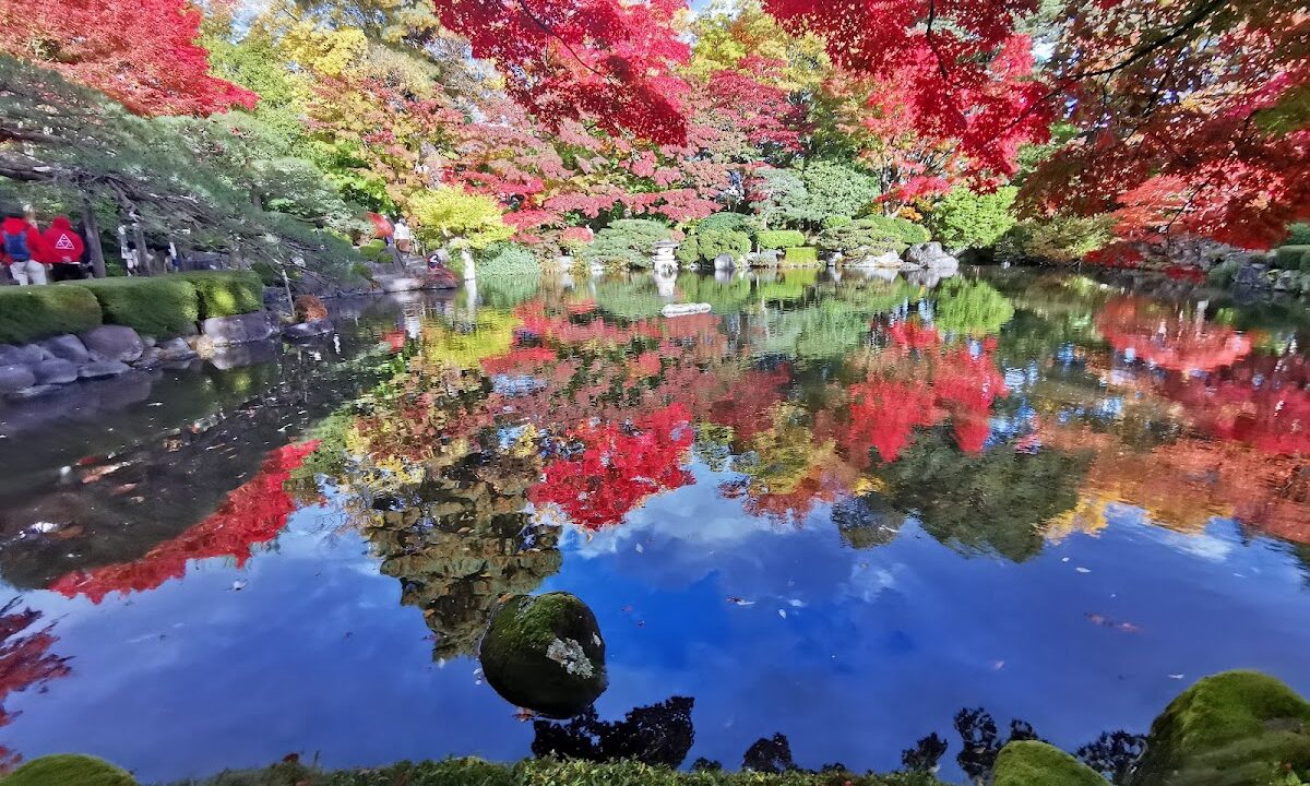
The autumn foliage of Mt. Goshozzan boasts some of the most beautiful colors in the Tohoku region. From late September to early October, coloring begins at the summit and the foliage front gradually descends to the base.
Due to the 1,500-meter elevation, diverse colors paint the mountain—red rowan berries, yellow birch, and orange beech—creating a spectacular display. On clear days especially, the contrast between the blue sky and foliage produces breathtaking scenery.
Fall Foliage Peak Times:
- Summit area: late September to early October
- Mid-slope: early to mid-October
- Base: mid to late October
Autumn has stable weather and excellent views, making it the best hiking season. However, mornings and evenings become very cold, so cold weather protection is essential.
Winter Hiking
Mt. Goshozzan can be hiked in winter, but full winter mountaineering techniques and equipment are necessary. Snowfall can exceed 2 meters, and there are risks of trail breaking and avalanches.
Winter hiking should only be undertaken by experienced climbers; solo trips should be avoided, and it must be approached with adequate equipment and planning.
Access Methods and Trailhead Information
Access to Kannon-ji Course Trailhead
By Private Vehicle:
- Approximately 50 km from “Murata IC” on the Tohoku Expressway, approximately 1 hour 20 minutes by car
- Approximately 30 km from “Higashine IC” on the Yamagata Expressway, approximately 50 minutes by car
- Via National Route 13 and prefectural roads to Yanagisawa Forest Road
The Yanagisawa Forest Road has unpaved sections but is passable by regular vehicles, though road conditions require attention after bad weather. Limited parking is available near the trailhead, and early arrival is recommended.
By Public Transportation:
Public transportation access is difficult. The nearest station is “Sakuranbo Higashine Station” on the JR Ou Main Line, but from there to the trailhead is approximately 25 km, making taxi or rental car use practical.
Facilities Near Trailhead
Yanagisawa Cabin:
- Located midway along the hiking trail
- Accommodation available (advance reservation/confirmation required)
- Water source available
Summit Emergency Shelter:
- Located near the summit
- For emergency evacuation (basically unmanned)
- No bedding; self-sufficiency is the principle
Hiking Equipment and Preparation
Basic Equipment
Required basic equipment for Mt. Goshozzan hiking is as follows:
Essential Equipment:
- Hiking boots (with water resistance)
- Backpack (approximately 30L)
- Rain jacket top and bottom
- Cold weather garments (fleece or down)
- Map and compass (or GPS)
- Headlamp
- Emergency food and trail snacks
- Water (1.5 to 2L)
- First aid kit
- Mobile phone (with backup battery)
Recommended Equipment:
- Trekking poles
- Gloves (depending on season)
- Hat and sunglasses
- Sunscreen
- Insect repellent spray (summer)
- Camera
- Warm beverages (insulated bottle)
Seasonal Additional Equipment
Spring and Autumn:
- High-insulation clothing
- Gloves
- Neck warmer
Summer:
- Quick-drying clothing
- Insect net (if needed)
- Salt supplement snacks
Winter (experienced climbers only):
- Crampons
- Ice axe
- Snowshoes
- Beacon, shovel, and probe pole
- Winter tent (if needed)
Precautions and Safety Measures While Hiking
Weather and Atmospheric Conditions
Mt. Goshozzan, exceeding 1,500 meters, can have temperature differences of over 10 degrees between the base and summit. Sudden weather changes are not uncommon, and thunderstorm occurrence rates particularly increase in the afternoon.
Weather-Related Precautions:
- Always check weather forecast before hiking
- Plan to reach the summit in the morning
- Descend or take shelter promptly if thunderclouds approach
- Pay attention to getting lost in dense fog
Hiking Plans and Filing
A hiking plan should always be prepared and shared with family or friends, while also submitting it to the hiking notification box at the trailhead. Yamagata Prefecture Police’s online hiking notification system can also be used.
Planning Points:
- Realistic time allowances
- Confirmation of escape routes
- Awareness of emergency contacts
- Avoid solo hiking (when possible)
Wildlife Countermeasures
Asian black bears inhabit the area around Mt. Goshozzan. While hiking, bear bells should be carried and noise made periodically to avoid bear encounters.
Bear Countermeasures:
- Carry bear bells or whistles
- Avoid solo hiking
- Special caution during early morning and dusk
- Thorough food management
- Carry bear spray (recommended)
Health Management and Altitude Sickness Prevention
While altitude sickness risk is low at 1,500 meters, rapid elevation gain can cause health problems. Focus on adequate water intake and regular rest breaks, hiking at a pace without overexertion.
Highlights and Photo Spots of Mt. Goshozzan
360-Degree Panorama from Summit
The view from Mt. Goshozzan’s summit is spectacular. On clear days, the following mountains can be seen:
- North: Mt. Kurikoma, Kamuro Range
- East: Mt. Izumigatake, the Pacific Ocean (if conditions are right)
- South: Zao Range, Azuma Range
- West: Mt. Gassan, Asahi Range, Mt. Chokai
The summit features a triangulation point and a mountain sign, serving as a standard photo spot. The summit area is spacious enough to accommodate many hikers for rest.
Dwarf Pine Carpet
The Pinus pumila grove covering the summit area creates a unique landscape resembling a green carpet spread out. Growing low and sprawling, dwarf pine is a representative of plants adapted to harsh environments and serves as a popular photography spot for high alpine landscapes.
Mystical Beech Forest Space
The beech forest in the mid-section of the hiking trail, with its ancient trees over 200 years old, creates a mystical atmosphere. Subject matter abounds—dappled sunlight filtering through the trees, moss-covered bark, and plants growing at the roots.
Particularly during early morning light, a fantastical landscape unfolds. Offering entirely different appearances during spring greenery and fall foliage seasons, the area is worth visiting during different seasons.
Gorge and Waterfall
Along gorge-side routes such as the Sounkyo Course, waterfalls and pools created by clear streams can be seen. Hiking accompanied by the sound of flowing water provides a refreshing experience for both body and mind.
Nearby Tourist Attractions and Hot Springs
Higashine Hot Spring Area
To recover from hiking fatigue, the hot springs in Higashine City are ideal. The Higashine Hot Spring Area has multiple day-use bathing facilities popular with hikers.
Main Hot Spring Facilities:
- Tanto Kuru Center: Public facility offering day-use bathing
- Various inn day-use baths: Advance confirmation recommended
The spring water is sodium-calcium chloride type, said to be effective for muscle soreness and fatigue recovery.
Cherry Blossom Picking (June)
Higashine City is known as the “Land of Cherries,” and cherry picking can be enjoyed in June. Combining it with hiking allows one to enjoy Yamagata’s flavors.
Roadside Stations and Local Cuisine
Michi-no-Eki Higashine:
- Local agricultural produce direct-sale shop
- Restaurant
- Tourism information corner
One can purchase Yamagata regional dishes and specialties, making it convenient to stop before or after hiking.
The Charm and Summary of Mt. Goshozzan Hiking
Mt. Goshozzan (Mt. Funagatayama), despite its manageable elevation of 1,500.3 meters, offers the genuine pleasures of serious mountaineering. The vast mountainous area spanning Yamagata and Miyagi prefectures is filled with diverse natural charms—primeval beech forests, alpine plants, gorge beauty, and a grand panorama from the summit.
Multiple hiking routes, including the Kannon-ji Course, enable mountain experiences suited to every level, from beginners to advanced climbers. The beauty of autumn foliage in particular ranks among the finest in Tohoku, continuing to enchant many hikers.
Counted among Japan’s Two Hundred Famous Mountains, this peak stands as a representative of Tohoku’s rich nature and will continue to be beloved by many. With proper preparation and planning, enjoy hiking safely and experience the wonders of Mt. Goshozzan.
Through hiking, one can appreciate the grandeur and beauty of nature and reaffirm the importance of environmental protection. To pass Mt. Goshozzan’s nature on to future generations, observe hiking etiquette, cooperate in trash removal, and protect vegetation.